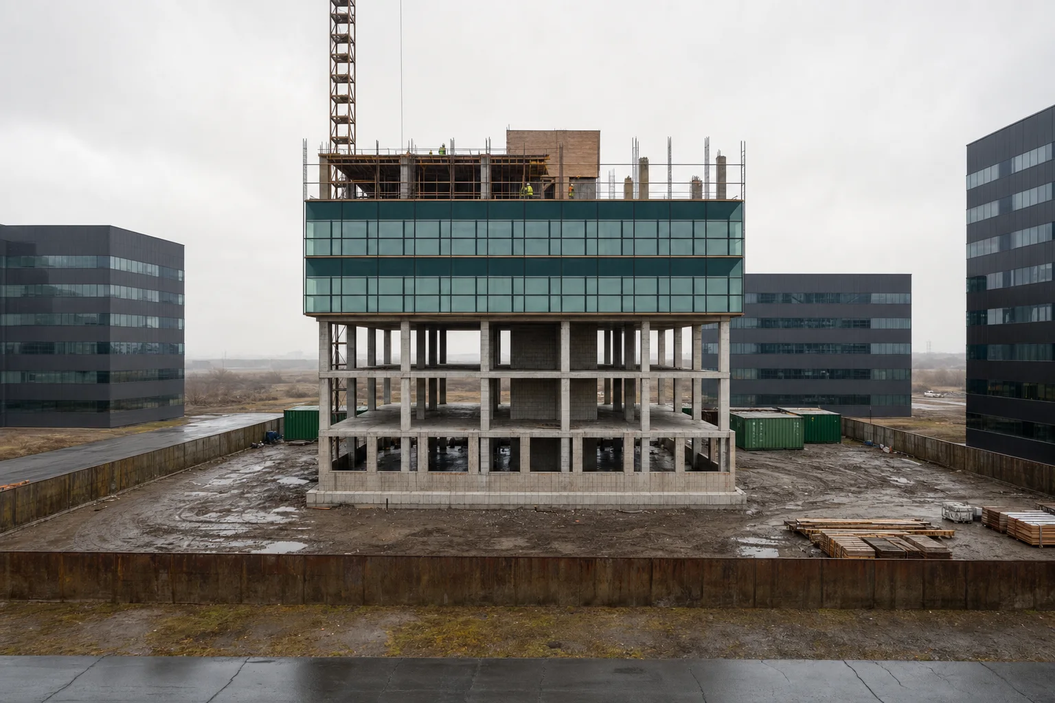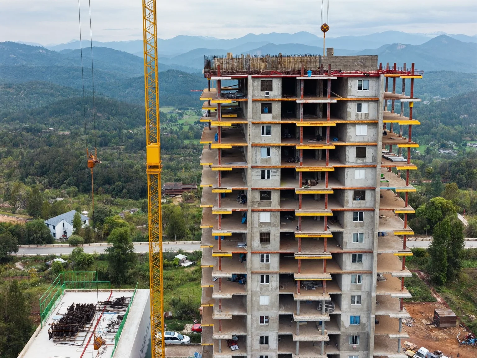
Developers
Independent proof of progress for buyers, boards and investors, without waiting for the contractor's monthly report.
Read more about control.io for Developers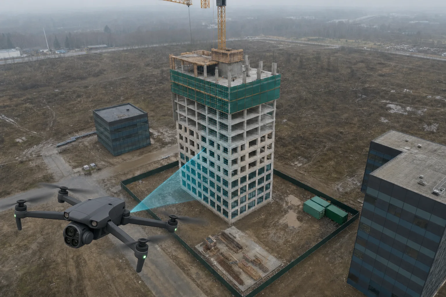 How it worksFrom drone flight to delay verdict in four steps.
Example delay findings from the latest flight
Proof, not progress claimsDrone flights measure every floor and compare it with the schedule your developer signed, so a delay is shown, not argued.
How the 3D model is made
Everything you see in the 3D model comes from one drone flight. Scroll to follow a real sample flight, from the photos to the measured storeys.
1 · Fly
Defect explorer · sample project
The tower below is rebuilt from six drone photos. Each pin is a finding from the latest flight, checked against the baseline schedule. Pick one to fly to it.

Sep 2026 flight · 9 findings · pick one to fly to it
control.io is an independent construction-supervision service that flies drones over multistorey building sites, reconstructs each flight as a 3D model, compares it with the official construction schedule, and issues evidence-grade PDF reports that show whether, where and by how much a project is late.
Last updated
On-demand inspections
Owners and building inspectors order a full inspection or a revision from the control.io app, whenever they need one. In Yerevan and Kotayk a car with a drone crew pulls up within 3–4 hours, and the independent report arrives within 12 hours of the flight.
Example order status: INS-2026-0007Car on the way 09:40–10:40
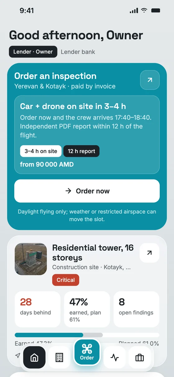
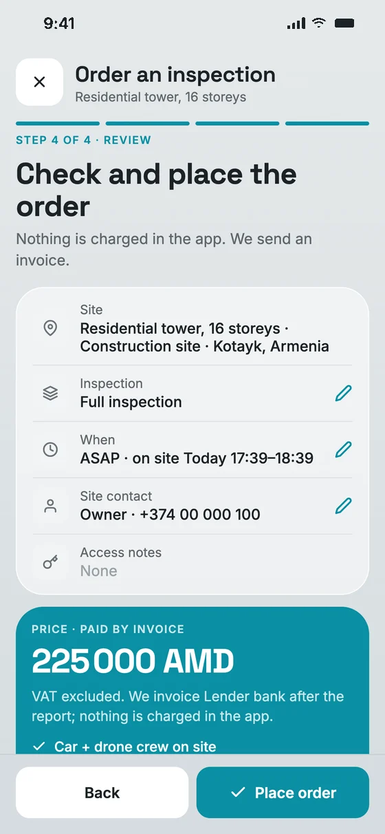
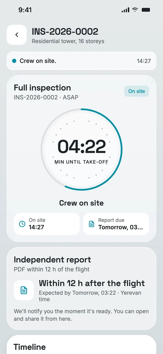
ASAP order · Yerevan & Kotayk
Step 1
1 tap
Choose a full inspection, a revision of open findings or specific floors. ASAP, or at a time that suits the site.
In the app
Step 2
3–4 h
A car with a certified pilot and a drone pulls up and flies the whole building. You follow the crew live.
Tracked live
Step 3
12 h
A PDF with the 3D model, progress against the schedule and hashed photos, within 12 hours of the flight.
PDF · 3D · schedule
FromAMD 90,000per inspection
ASAP +25%. VAT excluded, paid by invoice, no in-app payment.
Service area: Yerevan and Kotayk. Times count from order confirmation. We fly in daylight only; strong wind, rain or restricted airspace can move the slot, and we call the site contact if it does.
Who it is for
The same drone evidence answers different questions: is the tranche earned, is the permit respected, is the bond at risk, are the panels producing. Pick your seat at the table.
Independent proof of progress for buyers, boards and investors, without waiting for the contractor's monthly report.
Read more about control.io for Developers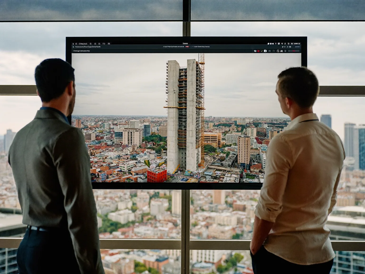
Release construction loan tranches against measured progress, with evidence your credit committee can file.
Read more about control.io for Banks & lenders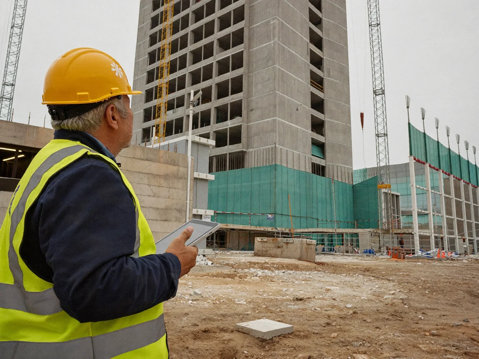
Check permitted works against what is being built, across many sites, without sending an inspector to every one.
Read more about control.io for Municipal building control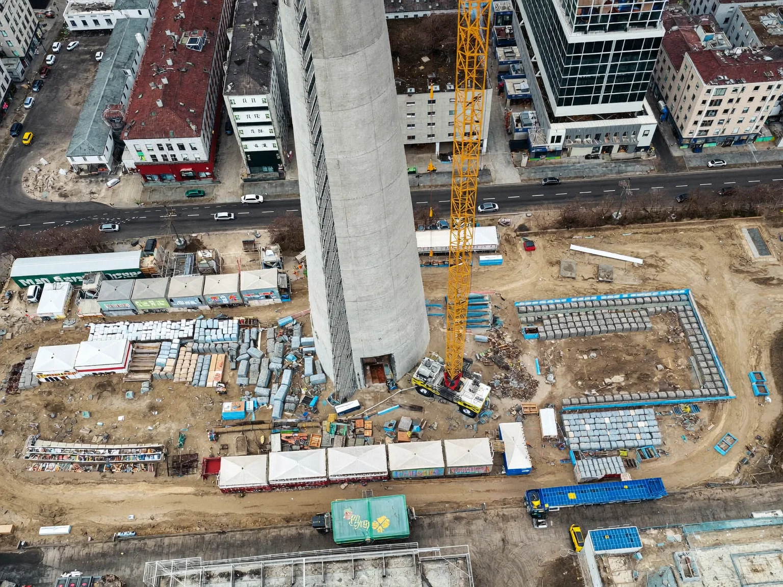
Underwrite and monitor construction risk with a dated visual record of every insured or bonded site.
Read more about control.io for Insurers & sureties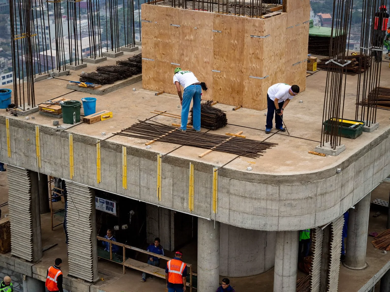
Show owners exactly where the programme stands and defend your own delay claims with the same evidence.
Read more about control.io for General contractors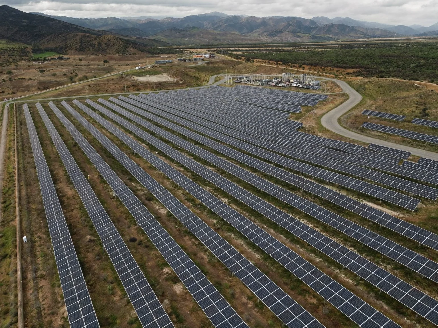
Thermal and RGB drone inspection of solar farms, with every anomaly pinned to a module.
Read more about control.io for Energy & SolarWhat we do
control.io measures a building from the air, rebuilds it in 3D and compares it with the schedule the developer committed to. Here is what that gives you.
Know which floors are finished, which are late and by how many days, measured from the air rather than reported by the party being measured.
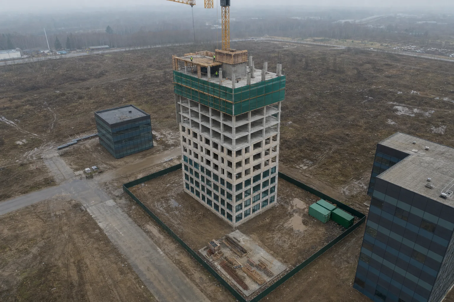
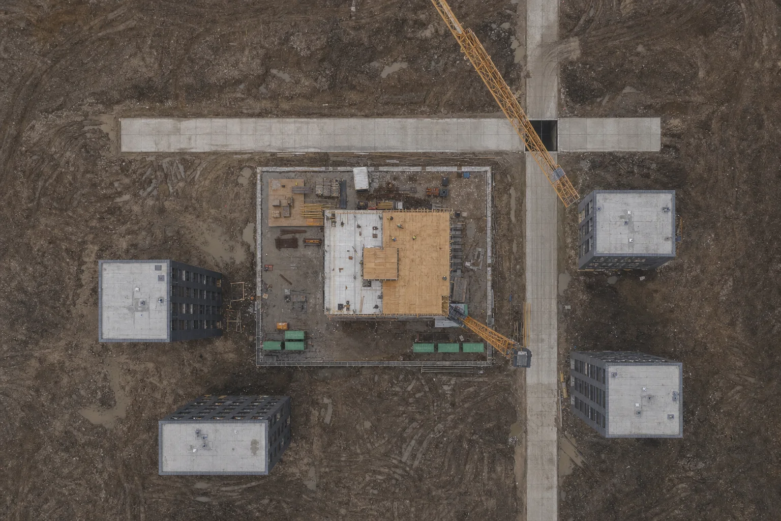
Every flight becomes a measurable 3D model. Compare this month with last month, or the building with the plan, on screen.
What we stand on
A supervision report is only worth something if the reader trusts how it was made. These three principles decide how we fly, process and write.
We are not the contractor and not the developer. Our pilots, our processing and our reports answer to the evidence, which is why lenders and municipalities can rely on them.
Original images are kept, hashed and linked to the schedule page they test. Anyone can re-open a finding and see exactly what it rests on.
A delay found in month three can still be recovered. Regular flights and automatic comparison surface slippage while there is time to act on it.
Our services
Every service writes into the same project timeline, so a facade defect, a late slab and a hot solar module are all traceable to a dated, hashed image.
Scheduled drone flights measure what was actually built and set it against what the schedule says should exist by that date.
Photogrammetry turns every flight into a measurable 3D mesh, orthomosaic and point cloud.
AI reads schedules, permits and contracts and turns them into dated milestones, each with a page citation.
Close-range facade passes capture cracks, missing anchors and envelope defects at a known ground sample distance.
A live project feed plus PDF reports with hashed imagery and the official documents annexed.
Thermal and RGB drone surveys find hot-spots, soiling, cracked cells, disconnected strings and shading.
How it works
control.io follows the same four steps on every site: fly a saved route, reconstruct the site in 3D, compare it with milestones taken from the official documents, and report the difference.
Illustrative timeline for a standard tower flight
Step 1
A certified pilot flies a saved route: orbits, facade passes and a nadir grid. The same route every visit keeps images comparable.
Step 2
Photogrammetry rebuilds the site as a 3D mesh, orthomosaic and point cloud. Every photo is hashed on upload.
Step 3
The model is measured floor by floor and set against milestones the AI extracted from the schedule, permit and contract.
Step 4
You receive a verdict per floor and trade, days behind in earned-schedule terms, and a PDF with the evidence annexed.
Why it matters
Percent complete hides lateness. control.io converts measured progress into earned schedule, so the answer comes out in days.
Tower B · example flight, 7 Sep
47% earned vs 61% planned
Structure
Envelope
Glazing
Not yet built
+20%
−28d
SHA-256
Gallery
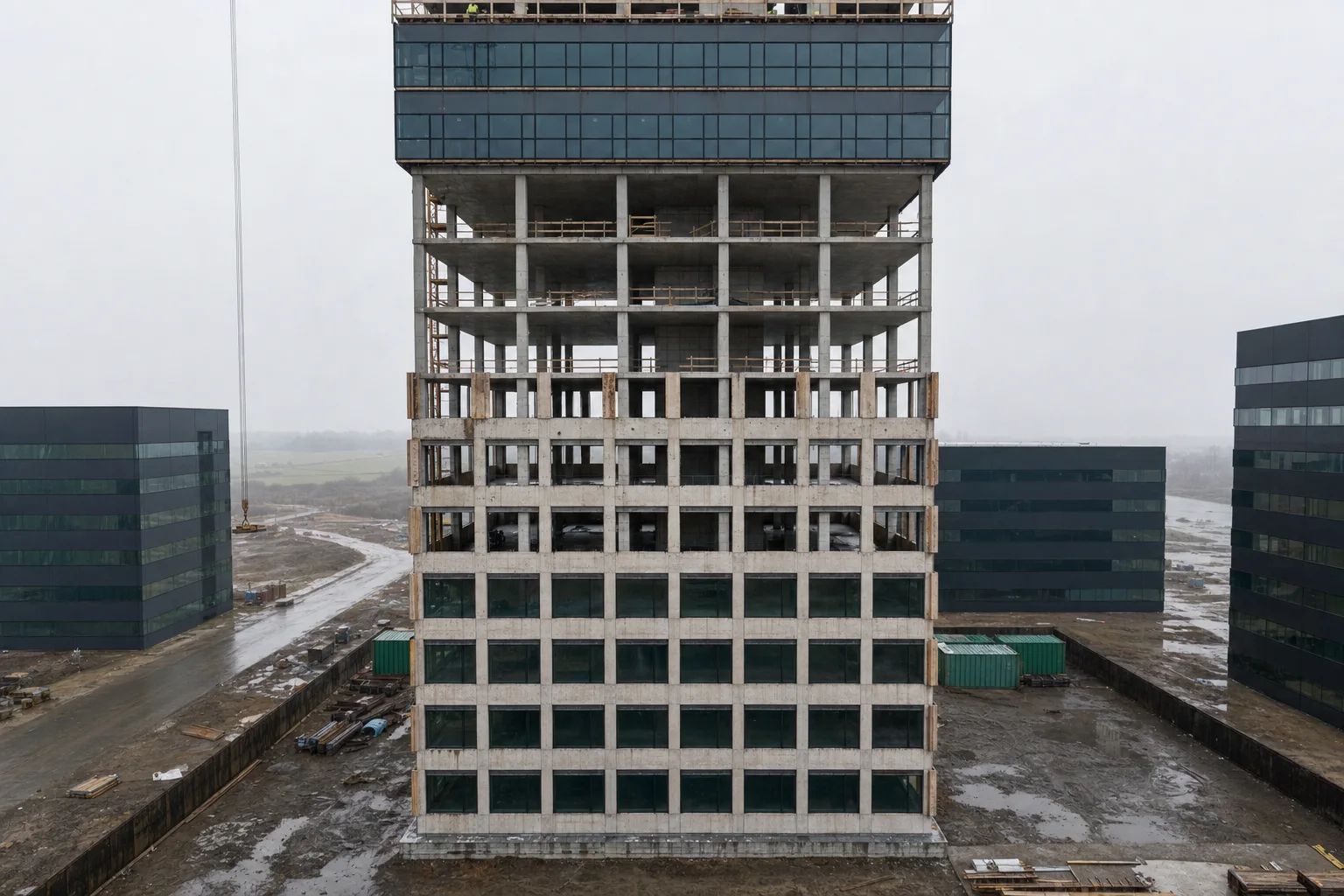
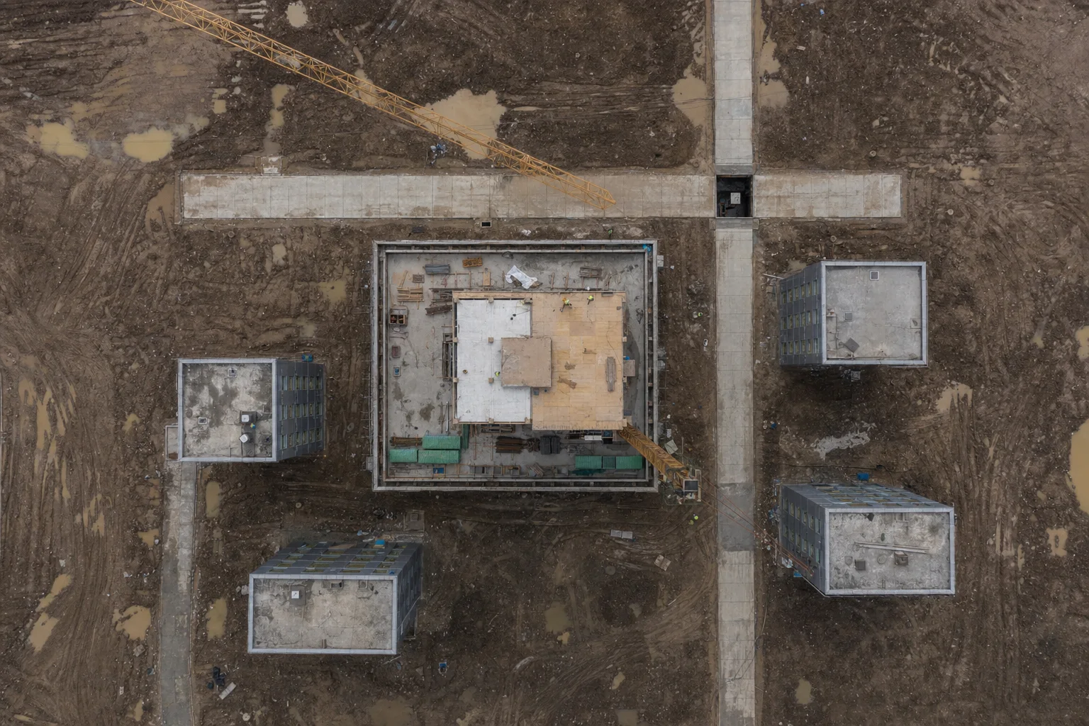
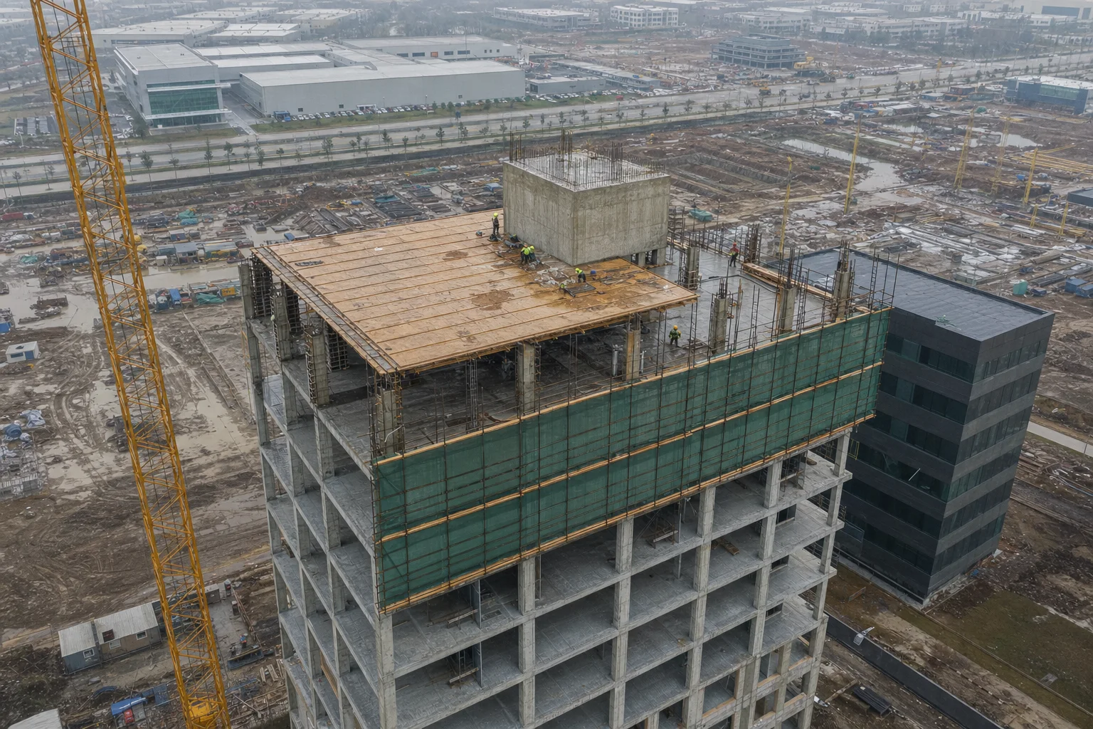
Three visits on the same saved route. Because the camera positions repeat, each image lines up with the last, and the difference is the progress.
Orbit south-west · repeat route
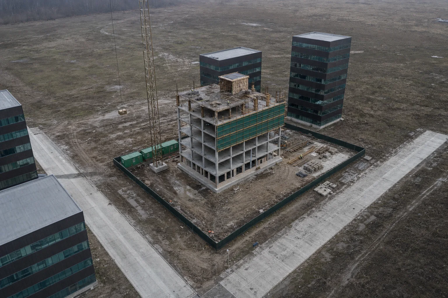
14.03 · Flight 1
4 floors
Structure
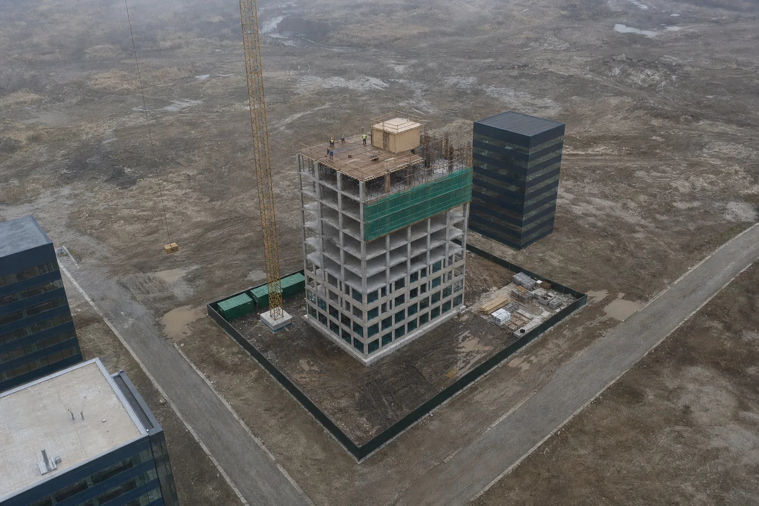
16.05 · Flight 2
6 floors
Structure + envelope
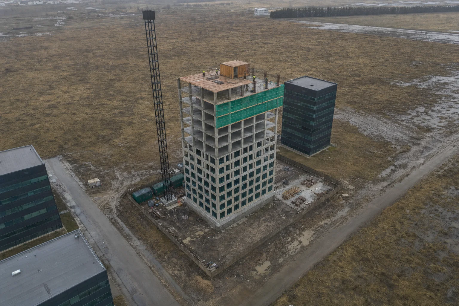
18.07 · Flight 3
8 floors
Topped out
FAQ
Straight answers about flights, evidence, documents, solar inspection and price. Anything else: hello@control.io.
About control.io
control.io is an independent construction-supervision service. It flies drones over multistorey sites, rebuilds each flight as a 3D model, compares the model with the official construction schedule and issues PDF reports that show which floors are late and by how many days.
The AI extracts dated milestones from the schedule, permit and contract. Each flight's 3D model is measured floor by floor and trade by trade, and the measured progress is converted into earned schedule, the date by which the plan expected that much work. The difference from today is the delay in days.
They are built to be verifiable. Original images are retained, each receives a SHA-256 hash at upload, capture time and location are recorded, and the schedule pages each finding relies on are annexed. Whether a report is admissible in a specific proceeding is a matter for your lawyers and jurisdiction.
Monthly on the Pilot plan and bi-weekly on Portfolio. Enterprise customers can set any cadence, including weekly flights during frame and envelope work.
control.io's certified pilots, operating under local aviation rules. Enterprise customers and contractors with their own drone teams can fly our saved routes and upload through the app.
A textured 3D mesh, a top-down orthomosaic and a point cloud for every flight, viewable in the browser and exportable for CAD and BIM tools.
Construction schedules and programmes (PDF exports), building permits including scanned ones, contracts and loan agreements with milestone schedules. Every extracted milestone keeps a citation to its source page, and an engineer confirms the list before it is used.
Yes. Thermal and RGB drone flights detect hot-spots, cracked cells, active bypass diodes, disconnected strings, soiling and vegetation shading. Each anomaly is classified and pinned to a module on a geo-tagged map.
The Pilot plan for a single site starts from USD 1,490 per month including monthly flights. Portfolio covers up to 10 sites from USD 5,900 per month. Enterprise and lender plans with API access and white-label reports are priced per portfolio.
In Yerevan and Kotayk, an ASAP order from the control.io app or dashboard puts a car with a drone crew on site within 3–4 hours of confirmation, and the independent PDF report arrives within 12 hours of the flight. Owners and building inspectors can order a full inspection, a revision of open findings or specific floors; the price is shown before you confirm and paid by invoice. We fly in daylight only, and strong wind, rain or restricted airspace can move the slot, in which case we call the site contact.