Short answer
Drone construction progress monitoring means flying a building site on a regular schedule, turning the photos into a measurable 3D model, and comparing that model with the construction programme. The result is an objective, dated record of what was built and whether it matches the plan.
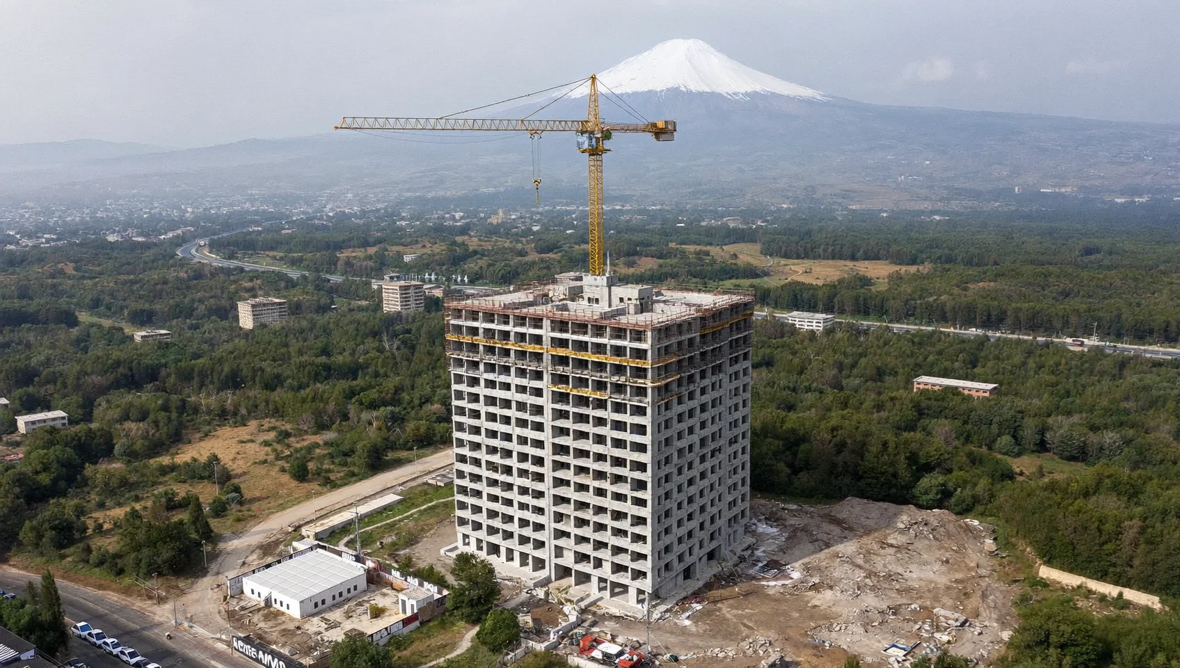
How does drone progress monitoring work?
It has three stages: capture, reconstruction and comparison. In capture, a pilot flies a pre-planned route over the site: circular orbits at several heights, vertical passes along each facade, and a top-down (nadir) grid. Because the route is saved, every visit photographs the building from the same positions.
In reconstruction, photogrammetry software finds the same features across hundreds of overlapping photos and computes their 3D positions. The outputs are a textured mesh, an orthomosaic (a geometrically corrected top-down image) and a point cloud.
In comparison, the reconstruction is measured against the plan: which slabs are poured, which floors have facade panels, how high the structure stands. Those measurements are set against the dates in the schedule to decide whether each part of the building is on time.
What can a drone measure on a multistorey site?
A well-planned flight captures enough detail to measure most of the visible building programme:
- Number of completed structural floors and the height of the frame
- Slab pours, column and core progress on the working deck
- Facade and envelope installation per elevation and floor
- Roofing, external works and site logistics areas
- Stockpile and excavation volumes between two flights
What can it not measure?
Drones see what is visible from outside. Interior fit-out, MEP installation behind closed envelopes and anything under temporary covers cannot be measured from the air. For those trades, drone data is combined with interior 360° capture or site records. A good monitoring report says clearly which items were measured and which were not.
How accurate is a drone 3D model of a building?
Accuracy depends mainly on ground sample distance (GSD), the size of one image pixel on the ground, which is set by camera resolution and flight distance. Facade passes flown close to the building give a much finer GSD than high orbits. Ground control points or RTK positioning improve absolute accuracy. For progress purposes (is this slab poured, is this panel installed) relative accuracy between flights matters more than survey-grade absolute accuracy.
How is progress compared with the construction schedule?
The schedule is first turned into checkable milestones: 'slab level 9 poured by 14 March', 'south facade to level 6 by 30 April'. control.io's document AI extracts these from the programme PDF and links each to the source page. Each flight then marks milestones as met or not met, and the share of planned work actually achieved is converted to schedule time using earned schedule. That gives a delay measured in days, per floor and per trade.
Who uses drone progress monitoring?
Developers use it to check the contractor. Lenders use it before releasing loan tranches. Municipal building-control teams use it to watch many permitted sites. Insurers and sureties use it to spot projects drifting toward default. Contractors use it to document their own progress and support extension-of-time claims.
Is it legal to fly drones over construction sites?
Usually yes, under the local aviation rules for commercial drone operations, which typically require a licensed pilot, registered aircraft and permission for controlled airspace or flights near people. Rules differ by country, so operators must check local regulations (for example, the FAA's Part 107 in the United States or EASA's rules in the EU). control.io flies with certified pilots and handles permissions for each site.
About the author
control.io Field Engineering Team
Civil engineers, licensed drone pilots and photogrammetry specialists who run control.io's site supervision and inspection flights.